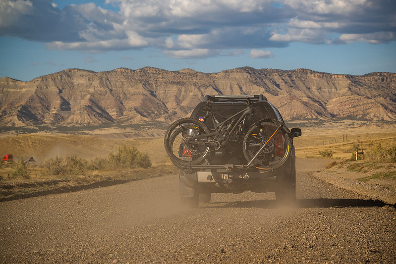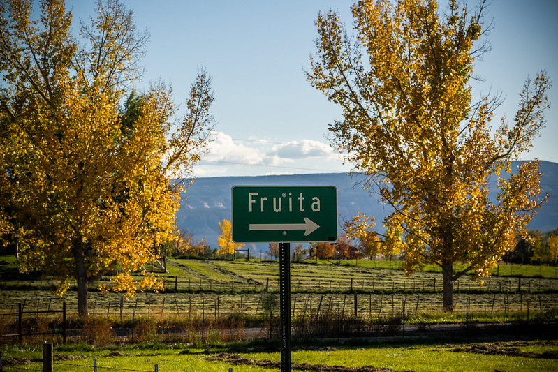
McInnis Canyons National Conservation Area is a 123,430 acre public land space run by BLM located just outside of Fruita, Colorado. This conservation area is home to the second largest concentration of natural arches in the United States, as well as home to a 25-mile stretch of the Colorado River. With a variety of trails, McInnis Canyon offers great views for everyone, no matter how far you hike. This is also a popular area for mountain bikers, so be sure to share the trail.
Trails
Rustler’s Loop 3.6 miles, easy.
Rabbits Ear Mesa Trail 5.7 miles, easy.
Macks Ridge Trail 7 miles, moderate.
Mary’s Loop and Horsethief Bench Loop 12.4 miles, moderate.
Kokopelli Trail / Troy Built Trail 27 miles, hard.
Directions
Take Fruita exit #19. Turn south (left), travel 1.5 miles to the Kingsview Estates subdivision. Turn west (right) in to the subdivision. Stay on the main road all the way through the subdivision, Devils Canyon Trailhead is approximately 0.5 miles ahead on your left. The trailhead sits back off the main road via a short access road and is not easily visible from the main road. Watch for the sign. Pollock Bench Trailhead is another 2.5 miles ahead directly off the main road, on your left.